Greenhill Manor Residents' Association
Formed to safeguard the interests
of the residents of the district
Greenhill was derived from Grenehulleas - as was the case of Harrow, which developed from Hergae and Herga. Herga can still be seen in use today. A family named Greenhill or Grenehulle is recorded as living here as far back as 1247. The family likely took their name from the area, (a common practice at that time and still the case in some parts of the world today), which had been known as Grenehulle for many centuries.
Greenhill is the larger parish, whilst Greenhill Manor is the area which the Greenhill Manor Residents’ Association covers. For those from outside the area, it is a little east of Harrow town centre.
Not that far back, Greenhill and everywhere around in what is now Harrow had been farmland or forest. Harrow-on-the-Hill was the village and centre of life. In the 19th Century, a small village began to develop around the junction of Sheepcote Road and Station Road where St John's church stands – the original tracks of which are thought to have existed long before Romans came to Britain.
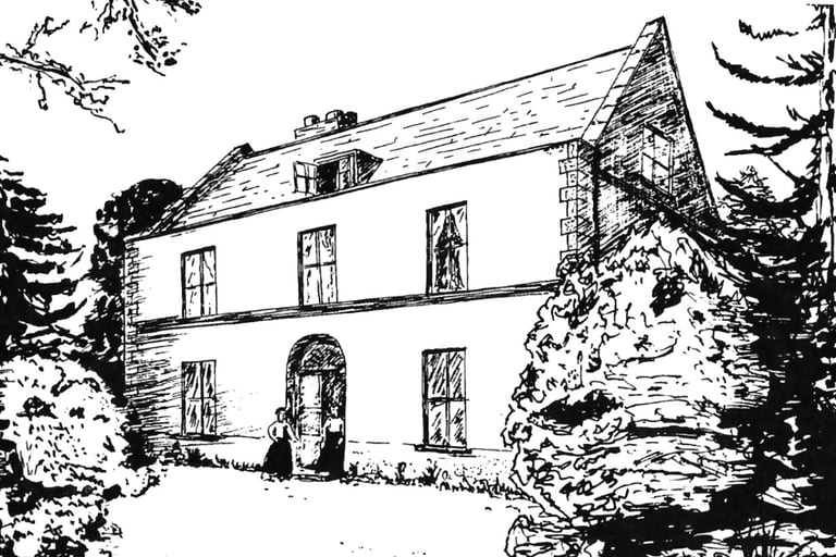
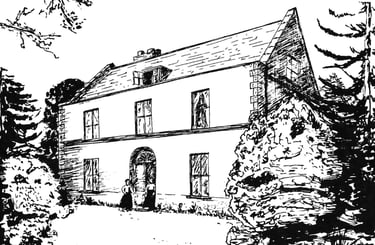
A Manor House once stood nearby the site of which is thought to have been where Manor Court now stands. The lands east of that junction were part of the Northwich Estate owned by Lord Northwick. Between the two World Wars - 1918 and 1938 - as with most of the lands in Harrow, farmland changed to urban housing.
The roads in the Manor - Northwick Park Road, Bonnersfield, Crofts and Manor bear testament to the past.
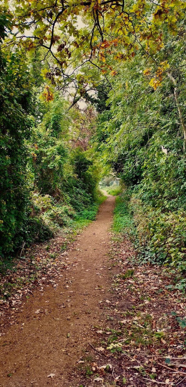
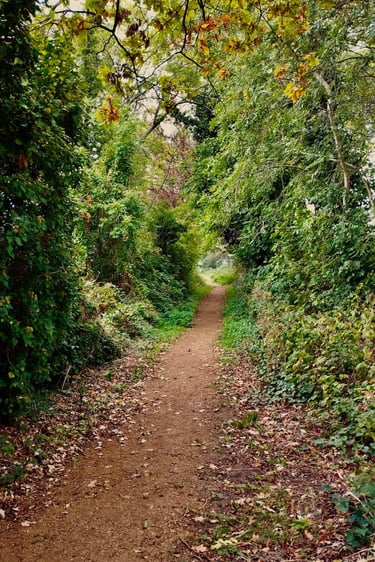
Today, the 'Manor' is a relatively quiet, mixed residential area favoured for its proximity to schools and transport links. There is no open green space – although there are allotments. However, there is an ancient trail where Bonnersfield Lane continues as a Green Lane, now signed as The Belmont Trail Link, and it dates back into the mists of time.
A potted history of Greenhill Manor
The Belmont Trail Link/Bonnersfield Lane.
Once used as a way between Wealdstone and Kenton, when the West Coast Railway line was seeking planning permission to construct the line through the area, it was granted on the basis that a footbridge was built at a point where it crossed the trail. The trail now leads to Kenton Recreation Ground, a suitably large green space with amenities.